When Sascha Bohl and Manfred Hörnschemeyer presented us with the idea of a digital measurement app, we were immediately enthusiastic and convinced that the app would bring real added value. The app smart to plan makes it possible to carry out exact measurements in outdoor areas, regardless of the area size, course or structure. We recognized the enormous potential of the project and the technical challenges, which is why we are participating in this project ourselves, along with other investors.

Every project begins with an idea. Initially, it is often unclear as to whether it can be implemented with today’s technical possibilities – and within a realistic financial framework. In the first phases of the project, the focus was on evaluating the technical possibilities and getting to know the potential target group. Among other things, the following questions had to be clarified: What is needed to take digital measurements with an app? Which functions of the smartphone are used? How can different surfaces be recognized? Can the digital measurements be as accurate as manual measurements? How do different lighting conditions affect the measurements?

After successful tests and experiments with prototypes of the measurement app smart to plan it quickly became obvious that the idea could be implemented. Further tests, improvements, the integration of feedback and constant optimizations of the measurement results followed. We were always in very close contact with the entire team behind the measurement app smart to plan in order to be able to work transparently and customer-oriented.

The finished measurement app and its functions

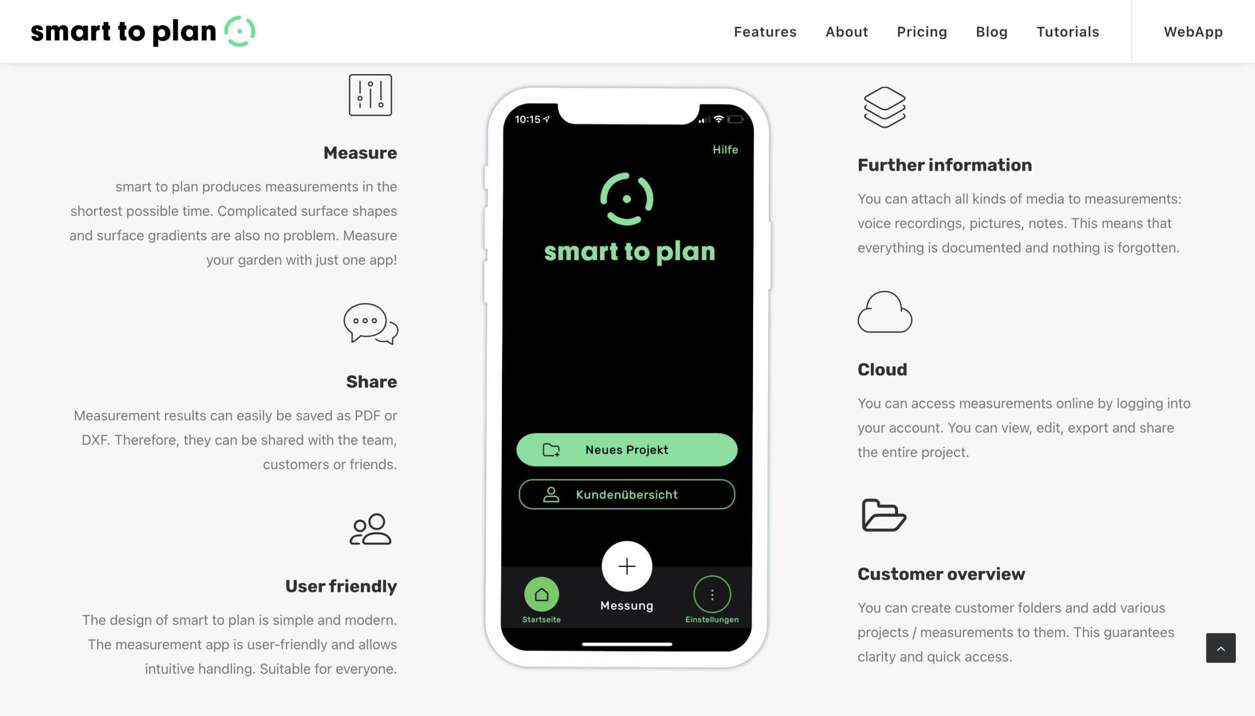
1.5 years later, we have developed an innovative, disruptive product for the market that not only saves time, but also money. Before there was smart to plan, measurements were carried out using expensive and large total and robotics stations that require a certain amount of familiarization, or with pen and notepad. Measurements by hand are extremely prone to errors, and one wrong number can lead to incorrect results. Wind and weather also influence manual measurements. With smart to plan all you need for measurements is a smartphone / tablet and the app. Due to the high user-friendliness of the app, no training is required. You can now test the measurement app for one month free of charge on Apple App Store and on Google Play Store.

Home smart to plan
Sub-measurement smart to plan

Not only measurements can be taken with smart to plan – the app also offers the following functions:

Sub-measurements

You can easily add a sub-measurement to a current measurement.

Accuracy

Measurements with smart to plan are very precise. For the best measurement accuracy, you can also carry out a calibration before the actual measurement.

Help with measurements

The measurement app alerts you when you need to correct the position of your smartphone / tablet for optimal results or when you are outside the main area for sub-measurements.

Structured overview

You can create customer profiles and project folders. You have your projects and customers under control and can easily access them anytime, anywhere. Deleting and editing is also possible.

Project documentation

You can attach media of all kinds to every project and every customer profile, such as (voice) notes and photos . The complete project documentation is in one folder.

Export function

In order to process your measurements in CAD programs, you can easily export them as DXF and forward them to your team or office via email, social media, AirDrop, etc. An export as PDF is of course also possible.

Angle

This feature allows you to set angles in 45° steps in order to measure exact surfaces. The red line shows the selected angle at which the viewfinder can then be moved. If the function is not required, it can also be switched off.

Magnet

The magnet feature enables a gap-free measurement of directly adjacent surfaces without overlapping or gaps. This increases the measurement accuracy and makes further processing much easier. The function can be switched on or off individually.

How does the measurement app work?

smart to plan enables digital measurements with the smartphone / tablet due to two functions that most smartphones / tablets have. The first is ARCore, an augmented reality programming interface with which a viewfinder and a green veil are projected onto the real environment via AR. In addition, the support of the depth API is required to recognize and measure different surfaces.

Current smartphone and tablet models usually have both properties, but you can be on the safe side when checking the following link: https://developers.google.com/ar/devices. For iOS, you can rely on the list of device models listed. For Android devices, you will find the note “Supports depth API” under “Remarks”. This indicates that your device is supported by ARCore.

What are the plans for the future?

The revolutionary idea of Sascha Bohl, the hard work of his team, the trust of his investors and the technical expertise of THIS IS! DMG helped the young start-up to bring a product onto the market that, above all, makes work easier. Nowadays it is essential to use digital solutions in order to be competitive and up-to-date. That is exactly what it smart to plan promises gardeners from landscaping, hobby gardeners, but of course also people from all other building trades.

We are already working together on new functions for the measurement app and on further ideas for landscaping. The WebApp will be launched in the next few weeks, to organize customers and projects and to adjust the scale for example. We are also planning a leveling function in order to optimally record different heights of the measured terrain.

Test the app one month free of charge

Our introductory period is currently underway, during which you can download the measurement app free of charge from the Apple App Store or Google Play Store. Without any obligations you can now test the app for 1 month. We then plan to introduce our regular usage fees, which you can find on smart to plan’s website.